
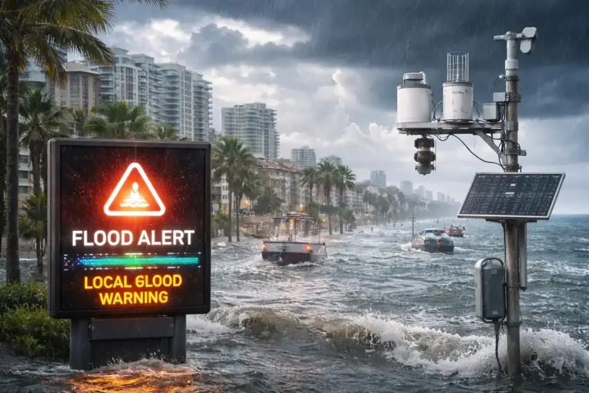
Coastal cities are testing flood alerts powered by neighborhood sensor networks, aiming to provide earlier and more precise warnings as storms and extreme rainfall events increase pressure on local infrastructure. The pilot systems use distributed sensors—installed near drains, canals, underpasses, and low-lying streets—to detect rising water levels in real time and trigger localized alerts before conditions become dangerous.
How neighborhood flood sensors work
Unlike regional weather warnings that cover broad areas, neighborhood sensors capture what is happening on specific streets. Cities typically deploy water-level gauges, rain sensors, and flow meters that transmit readings to a central platform. Algorithms then compare measurements with risk thresholds and forecast models to issue warnings for the affected blocks.
- Water-level sensors placed in canals, retention basins, and drainage points.
- Rain gauges measuring intensity and accumulation close to flood-prone zones.
- Flow monitoring that detects blocked drains and sudden surges.
- Real-time transmission via cellular, low-power networks, or municipal IoT systems.
- Alert thresholds tailored to local topography and infrastructure capacity.
Why cities are adopting hyper-local alerts
Flooding is often highly localized. One neighborhood can see street-level water within minutes while nearby districts remain dry. City officials say sensor-driven alerts improve situational awareness, allowing targeted warnings for underpasses, basements, and routes that become unsafe quickly. They can also help emergency services prioritize which areas need barriers, pumps, or evacuations first.
What residents may see during pilots
Pilot programs usually integrate with existing alert systems, but add more specific guidance. Residents may receive notifications that mention particular streets, intersections, or zones—along with recommended actions such as avoiding a route, moving vehicles, or securing basements.
- Street-level warnings for underpasses, waterfront roads, and low-lying blocks.
- Dynamic maps showing sensor readings and risk zones in real time.
- Short action steps like “avoid route,” “do not enter basement,” or “move vehicles.”
- Infrastructure notices when drains are overwhelmed or pumping stations are active.
Data, reliability, and maintenance challenges
Sensor systems depend on reliability in harsh conditions. Devices can fail during storms, lose connectivity, or produce noisy readings if debris interferes. Cities testing these systems often focus as much on maintenance plans as on technology—regular calibration, physical protection for sensors, and redundancy so a single failure does not blind the network.
- False alarms if thresholds are too sensitive or readings fluctuate.
- Sensor damage from debris, saltwater exposure, or vandalism.
- Connectivity gaps when networks are overloaded during storms.
- Ongoing upkeep including cleaning, calibration, and replacement cycles.
What it could mean for Europe’s coastal regions
Across Europe, coastal and river-adjacent cities are investing in flood resilience, combining physical infrastructure upgrades with smarter warning systems. Neighborhood sensors can complement regional meteorological alerts by showing what is actually happening on the ground, which is crucial for last-minute decisions about closures and emergency response.
Bottom line
Neighborhood sensor networks offer coastal cities a more precise way to detect and communicate flood risk in real time. If pilots prove reliable and well-maintained, hyper-local alerts could help residents and emergency services act faster—reducing injuries, property damage, and disruption during increasingly frequent extreme weather events.